×
Home Services Projects Contact

Our Professional Services

TRANSLANDS CONSULTS CO. LTD provides reliable, professional and accurate surveying, engineering and GIS consultancy services across Tanzania and East Africa.

What We Offer

Professional surveying and engineering consultancy solutions
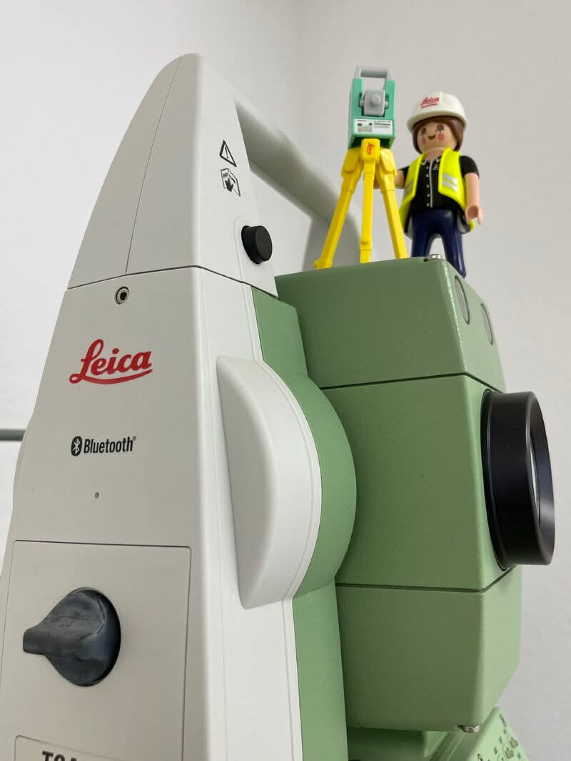
HIRING,OPERATING ,CONFIGURING ,ADJUTING,CALLIBRATING AND CORRECTING ALL TYPES OF LAND SURVEYING EQUIPMENTS

HIRING,OPERATING ,CONFIGURING ,ADJUTING,CALLIBRATING AND CORRECTING ALL TYPES OF LAND SURVEYING EQUIPMENTS

We are specialized in Configuring,Adjusting,Callibrating ,Correcting and Operating all types of Land Surveying Equipments ie
• GNSS,GPS Receivers
• ROBOTIC/Total Stations,
• 3D Laser Scanners
• Drones (UAVs)
• Level Machines,
• Advanced Lidar Technology...
We are specialized in Configuring,Adjusting,Callibrating ,Correcting and Operating all types of Land Surveying Equipments ie
• GNSS,GPS Receivers
• ROBOTIC/Total Stations,
• 3D Laser Scanners
• Drones (UAVs)
• Level Machines,
• Advanced Lidar Technology for 2D & 3D Lidar Sensors
Request Service
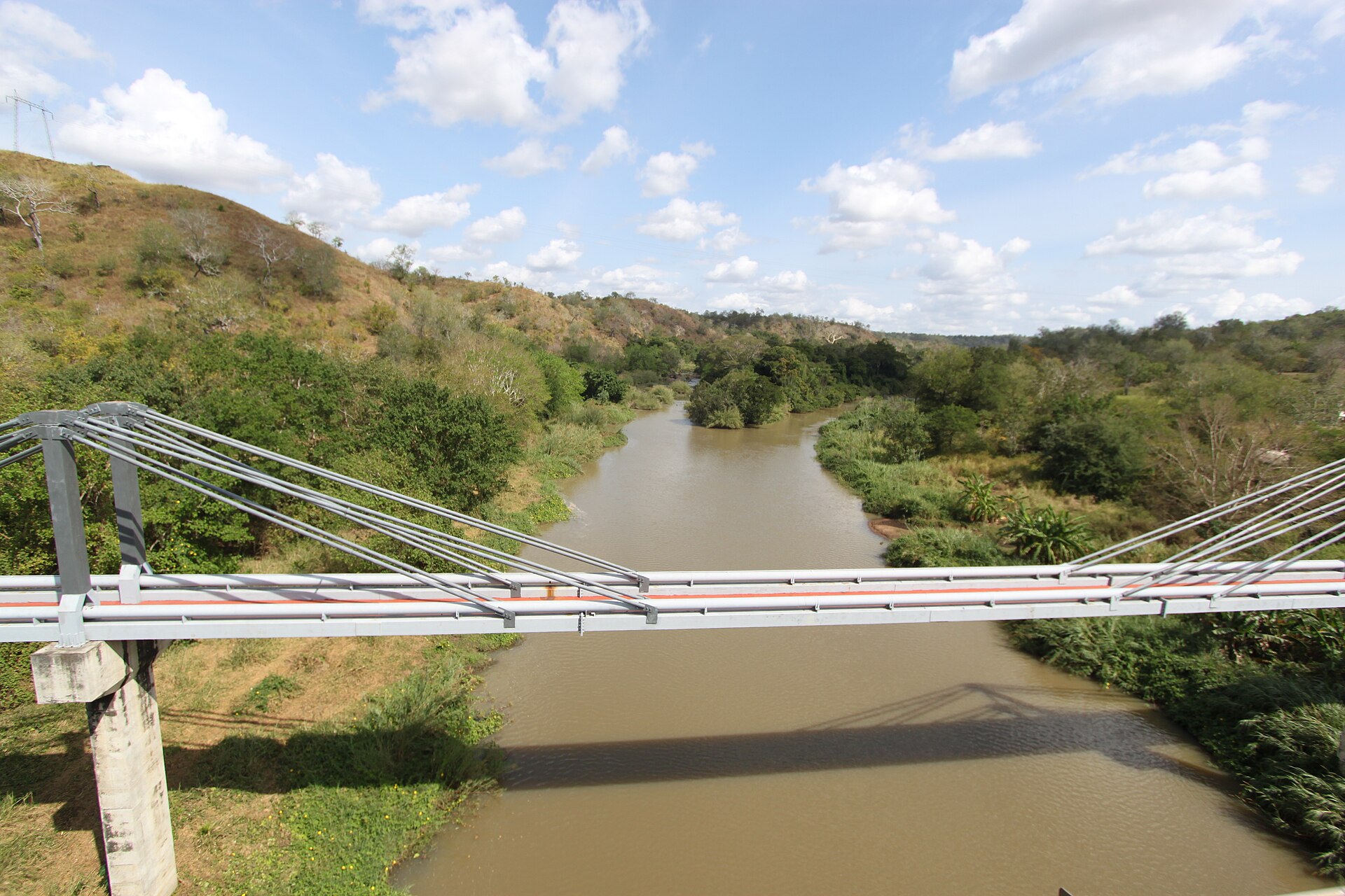
RIVER TRAINING & WATER RESOURCES CATCHMENTS PROTECTION

RIVER TRAINING & WATER RESOURCES CATCHMENTS PROTECTION

We are specialized in
•Conducting Detailed Topographic surveying purposely for protecting water resources and management.
•Surveying Planning, designing and mapping on weak and eroded River banks ,by...
We are specialized in
•Conducting Detailed Topographic surveying purposely for protecting water resources and management.
•Surveying Planning, designing and mapping on weak and eroded River banks ,by constructing
Gabions
Cross upper drainage perpendicular to river flow
Sand collector barriers across gullies which enter river
•Create measurable and implantable buffer zone along River and catchments
•Inspecting and taking mitigative measures around or near catchments for protection.
•Provide Education on how to protect environment for better future living & standard.
Request Service
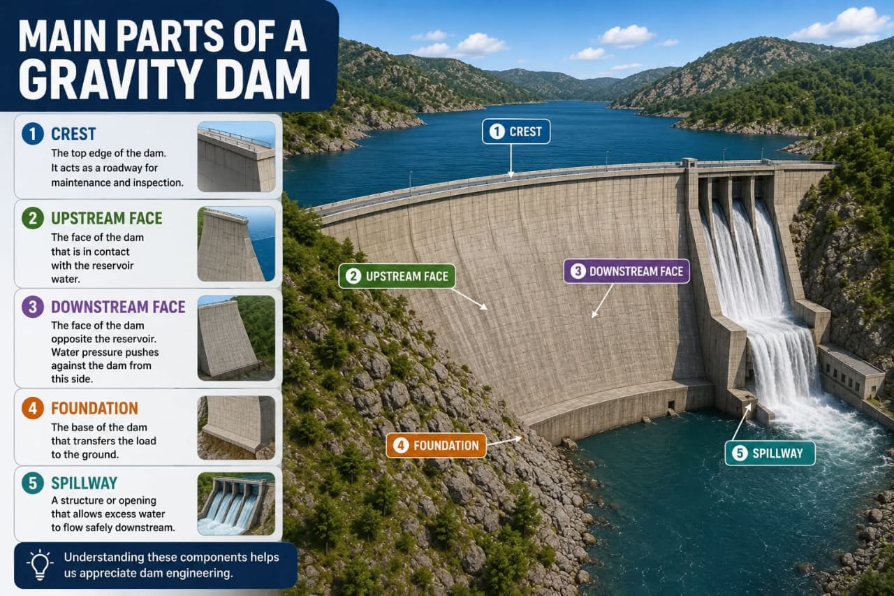
DEFORMATION ANALYSIS FOR DAMS & HUGE INFRASTRUCTURES

DEFORMATION ANALYSIS FOR DAMS & HUGE INFRASTRUCTURES

We are specialized in performing Land surveying in Deformation analysis on huge Infrastructures projects in Irrigation schemes,Construction industry,Urban and Rural planning,Land development,Agriculture general...
We are specialized in performing Land surveying in Deformation analysis on huge Infrastructures projects in Irrigation schemes,Construction industry,Urban and Rural planning,Land development,Agriculture general and Forestry to maintain project safety in quality,stability and sustainability for present and future generation.
Such projects include;
• Large massive scale Damsites
• Huge Tanks
• Bridges
• Railways
• Upper Storeway buildings
• Open & Underground mining pits
Request Service
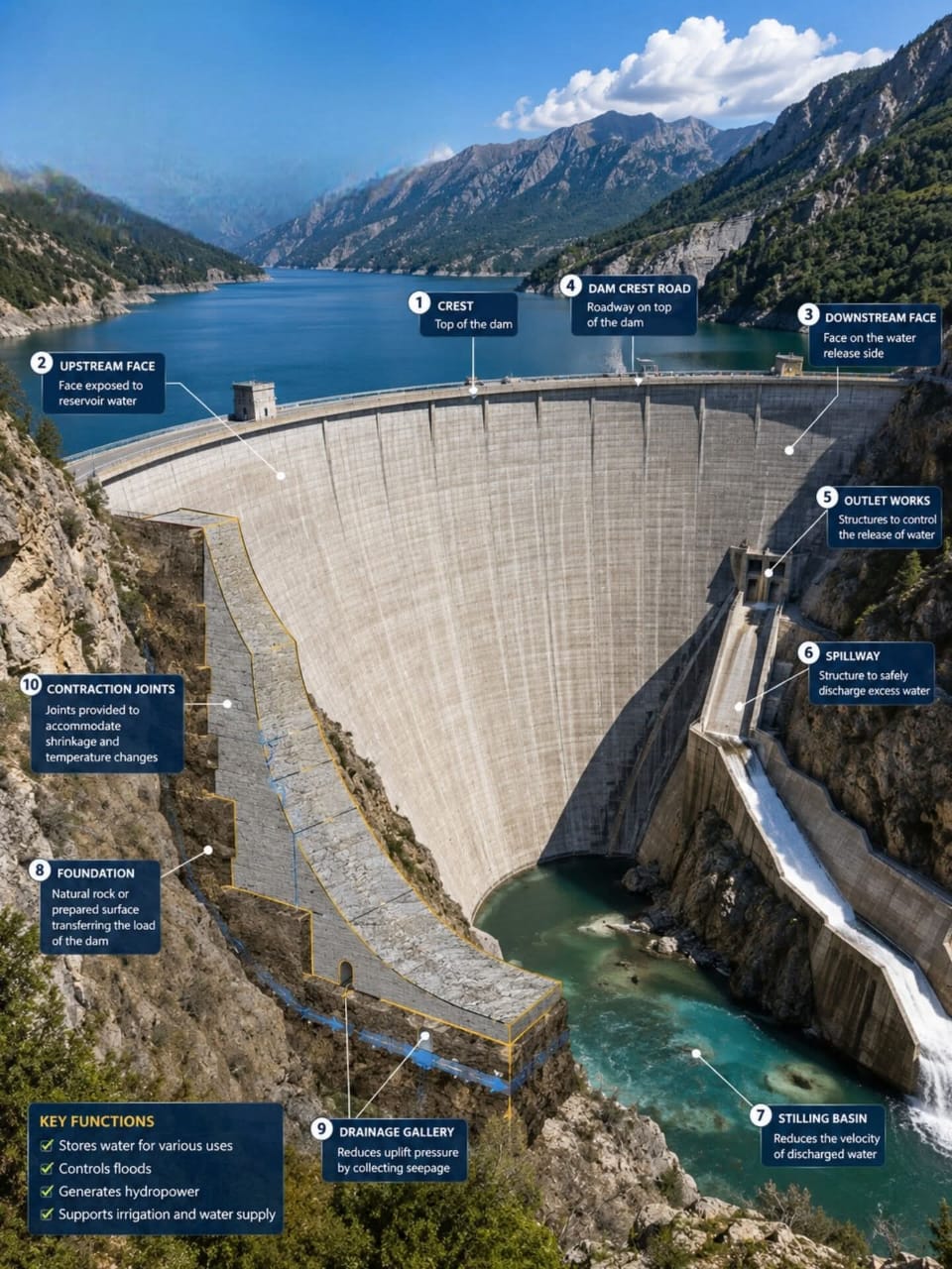
QUALITY CONTROLS ON PROJECTS INFRASTRUCTURES

QUALITY CONTROLS ON PROJECTS INFRASTRUCTURES

•We are specialized in quality controls on large ,medium and small projects in Irrigation schemes,Construction industry,Urban and Rural planning,Land development,Agriculture general and Forestry to maintain...
•We are specialized in quality controls on large ,medium and small projects in Irrigation schemes,Construction industry,Urban and Rural planning,Land development,Agriculture general and Forestry to maintain project investiment costs against Construction cost for value and finance balance.
Such projects includes ;
Dams & Reservoirs
Large Tanks
Request Service
AS-BUILT DRAWINGS AND DIGITAL TERRAIN MODELS (DTM)

AS-BUILT DRAWINGS AND DIGITAL TERRAIN MODELS (DTM)

•We are specialized in Mapping As built as finished projects ie Housing, irrigation schemes, Roadways,Railways etc

•We are better in Digital Terrain Modelling (DTM) Creating,analyzing, processing...
•We are specialized in Mapping As built as finished projects ie Housing, irrigation schemes, Roadways,Railways etc

•We are better in Digital Terrain Modelling (DTM) Creating,analyzing, processing and mapping for better presentation and implementation in various projects ie Construction & engineering,Urban planning and land development,agriculture and forestry.
Request Service
CIVIL 3D AUTOCAD DRAFTING AND GIS MAPPING

CIVIL 3D AUTOCAD DRAFTING AND GIS MAPPING

We are specialized in Projects Planning ,Processing,Supervising and Mapping with highly mapping softwares like;
• AutoCAD Civil 3D
• GIS & QGIS
• Surfer (For Surface mapping)
• EAGLE POINT
• GLOBAL MAPPER
We are specialized in Projects Planning ,Processing,Supervising and Mapping with highly mapping softwares like;
• AutoCAD Civil 3D
• GIS & QGIS
• Surfer (For Surface mapping)
• EAGLE POINT
• GLOBAL MAPPER
Request Service
DRONE SURVEY AND ORTHOPHOTO MAPPING

DRONE SURVEY AND ORTHOPHOTO MAPPING

•We are expert in Planning and Surveying project with mordenized Drone technology in Irrigation,Construction & engineering,Urban planning and land development,agriculture and forestry.

•We are competent...
•We are expert in Planning and Surveying project with mordenized Drone technology in Irrigation,Construction & engineering,Urban planning and land development,agriculture and forestry.

•We are competent in Designing project with mordenized Drone technology in Irrigation,Construction & engineering,Urban planning and land development,agriculture and forestry.

•We are dealing with Drone data processing in DTM 3D Modelling and Mapping in Irrigation,Construction & engineering,Urban planning and land development,agriculture and forestry.

•We are Specialized in Supervising project with mordenized Drone technology in Irrigation,Construction & engineering,Urban planning and land development,agriculture and forestry.
Request Service
EARTHWORK  CUT/FILL & VOLUME OF STOCKPILE  CALCULATIONS

EARTHWORK CUT/FILL & VOLUME OF STOCKPILE CALCULATIONS

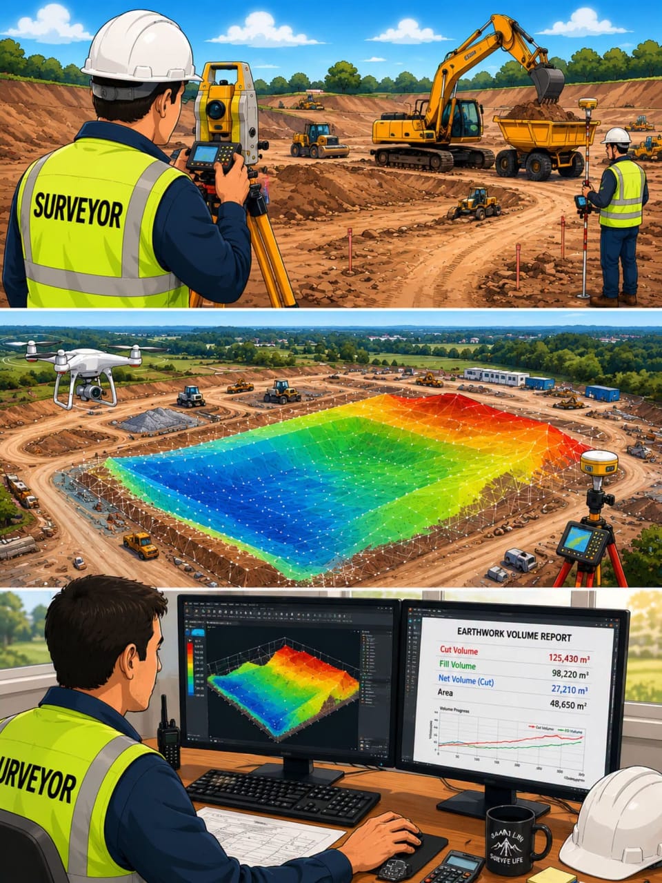
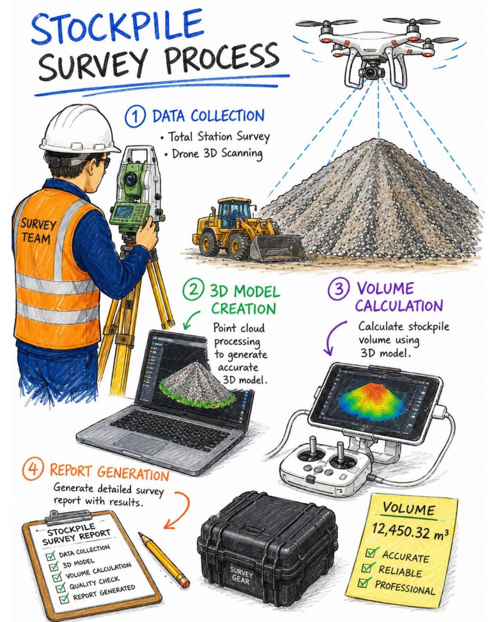
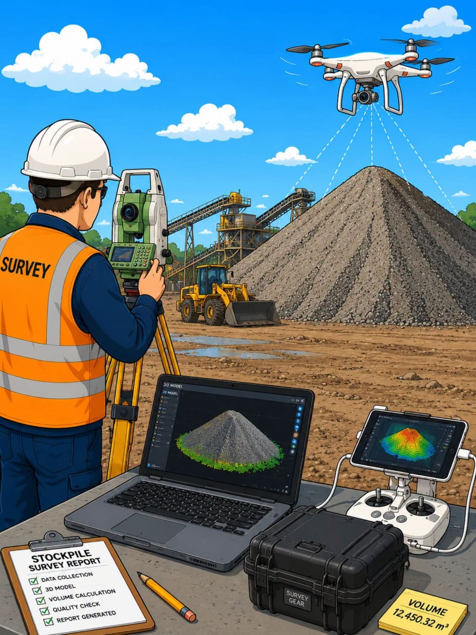
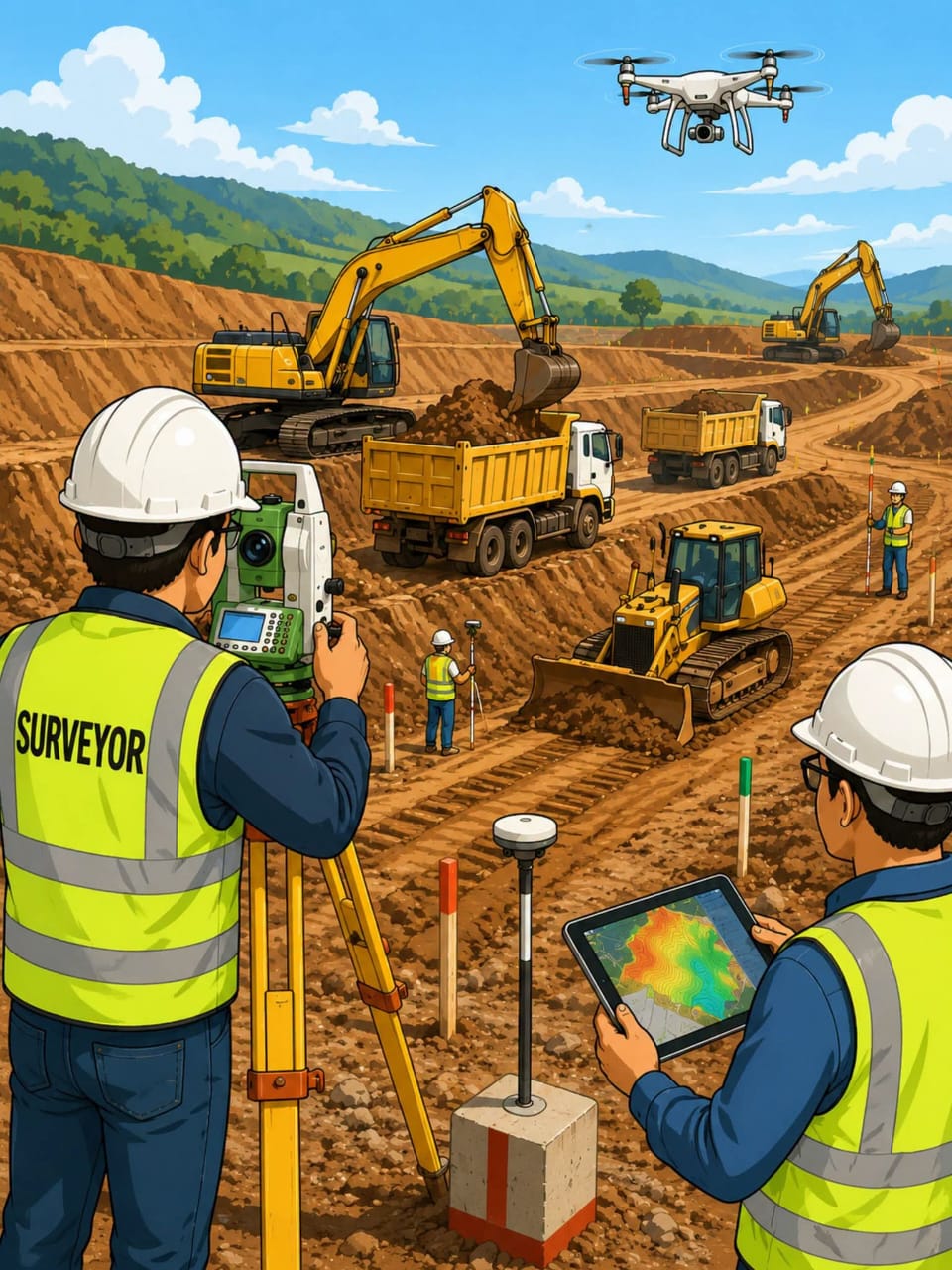
•We are competent in Planning Earthwork & volume of quantification in stockpiles for Grounds,Roadways,Railways,All mining activities etc

•We are Specialized in Designing Earthwork...
•We are competent in Planning Earthwork & volume of quantification in stockpiles for Grounds,Roadways,Railways,All mining activities etc

•We are Specialized in Designing Earthwork & volume of quantification in stockpiles for Grounds,Roadways,Railways,All mining activities etc

•We are competent in Mapping Earthwork & volume of quantification in stockpiles for Grounds,Roadways,Railways,All mining activities etc

•We are dealing with Supervising Earthwork & volume of quantification in stockpiles for Grounds,Roadways,Railways,All mining activities etc
Request Service
SITE LAYOUT AND SETTING OUT

SITE LAYOUT AND SETTING OUT

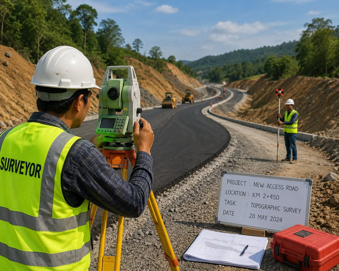
•We are competent in reading and defining site layouts in Planning Roadways, highways and underground utilities like sewer man holes,underground cables routes,tunnels etc

•We...
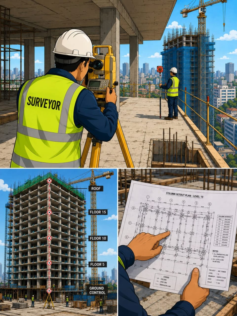
•We are competent in reading and defining site layouts in Planning Roadways, highways and underground utilities like sewer man holes,underground cables routes,tunnels etc

•We are specialized in reading and defining site layouts in Designing Roadways, highways and underground utilities like sewer man holes,underground cables routes,tunnels etc

•We are experts in reading and defining site layouts in Mapping Roadways, highways and underground utilities like sewer man holes,underground cables routes,tunnels etc

•We are dealing with reading and defining site layouts in Supervising Roadways, highways and underground utilities like sewer man holes,underground cables routes,tunnels etc
Request Service
ROADWAYS,HIGHWAY AND UTILITY CORRIDOR SURVEYS

ROADWAYS,HIGHWAY AND UTILITY CORRIDOR SURVEYS

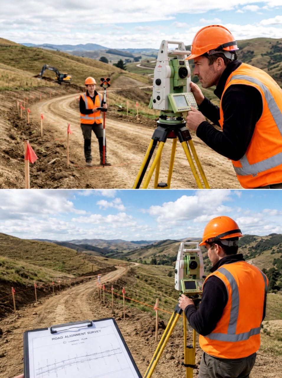
•We are expert in Planning Roadways, highways and underground utilities like sewer man holes,underground cables routes,tunnels etc

•We dealing with designing Roadways, highways and underground...
•We are expert in Planning Roadways, highways and underground utilities like sewer man holes,underground cables routes,tunnels etc

•We dealing with designing Roadways, highways and underground utilities like sewer man holes,underground cables routes,tunnels etc

•We are competent in Mapping Roadways, highways and underground utilities like sewer man holes,underground cables routes,tunnels etc

•We are specialized in Supervising Roadways, highways and underground utilities like sewer man holes,underground cables routes,tunnels etc
Request Service
CONSTRUCTION AND INFRASTRUCTURE SURVEY

CONSTRUCTION AND INFRASTRUCTURE SURVEY

•We are Specialize in Planning in construction and after construction ie Housing, bridges, Grounds, Roadways,Railways,Mining,strips,industries.
•We are expert in Designing construction and after construction ie...
•We are Specialize in Planning in construction and after construction ie Housing, bridges, Grounds, Roadways,Railways,Mining,strips,industries.
•We are expert in Designing construction and after construction ie Housing,bridges,Grounds,Roadways,Railways,strips,industries.
•We are dealing with Mapping construction and after construction ie Housing,bridges,Grounds,Roadways,Railways, Mining ,strips,industries.
•We are competent in Supervising construction and after construction ie Housing,bridges,Grounds,Roadways,Railways, Mining ,strips,industries.
Request Service
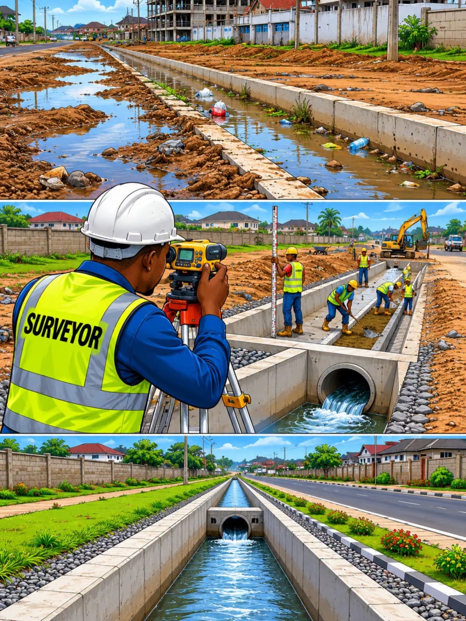
TOPOGRAPHIC AND CONTOUR SURVEY

TOPOGRAPHIC AND CONTOUR SURVEY

We are specialized in any type of Landforms detailed topography and contour mapping for planning ,designing and mapping for use in
• Roadways,
• Canals ,
• drainages,
• grounds
• Bridges...
We are specialized in any type of Landforms detailed topography and contour mapping for planning ,designing and mapping for use in
• Roadways,
• Canals ,
• drainages,
• grounds
• Bridges & Culverts etc
Request Service
CADASTRAL/BOUNDARY SURVEYING

CADASTRAL/BOUNDARY SURVEYING

-Farms/Blocks/Plots boundaries coordination & definition
-Farms/Block/Plots Subdivision
-Boundary & ownership conflicts resolutions to harmonize the national sovereignity
-Recovering lost or forgetten land marks /beacons
-Primary and Secondary Control points...
-Farms/Blocks/Plots boundaries coordination & definition
-Farms/Block/Plots Subdivision
-Boundary & ownership conflicts resolutions to harmonize the national sovereignity
-Recovering lost or forgetten land marks /beacons
-Primary and Secondary Control points Establishments,monumentations,coordination and registration
-Providing best education on how to buy or selling land & requirements to avoid unnecessary financial loss & civil cases
Request Service

Need Professional Surveying Services?

Contact TRANSLANDS CONSULTS CO. LTD today for professional land surveying, GIS mapping and engineering consultancy solutions.

Contact Us
× Full Size Image